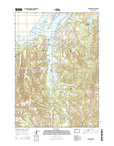
2014 Map of Charleston
USGS Topo · Published 2014About this map
The rugged coastal interface of Coos Bay is documented here, centering on the maritime community of Charleston and the adjacent settlement of Barview. This landscape is defined by its complex network of tidal waters, including the expansive South Slough and Joe Ney Slough, which branch into smaller inlets like Haywood Inlet and Day Inlet. These waterways surround significant landforms such as Valino Island and Crown Point, illustrating the intricate geography where the Pacific Ocean meets the estuary.
Find a feature on this map
63 named features on this map. Tap any name to fly to it.
Don’t see what you’re looking for? This feature index may not catch every label — zoom into the map to look around manually.
Map Details
Editions of this 2014 Charleston Map
This is the sole edition of this map. No revisions or reprints were ever made.
Other maps of this area

1896 · Coos Bay
USGS Topo · 1:125,000

1898 · Coos Bay
USGS Topo · 1:125,000

1900 · Coos Bay
USGS Topo · 1:125,000

1942 · Empire
USGS Topo · 1:62,500

1942 · Coquille
USGS Topo · 1:62,500

1942 · Coos Bay
USGS Topo · 1:62,500

1943 · Bandon
USGS Topo · 1:62,500

1944 · Empire
USGS Topo · 1:62,500

1944 · Bandon
USGS Topo · 1:62,500

1945 · Coquille
USGS Topo · 1:62,500