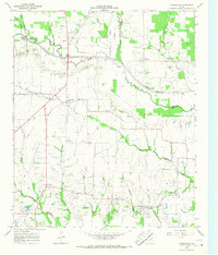
1964 Map of Charleston
USGS Topo · Published 1968About this map
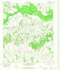
The North Sulphur River creates a meandering natural boundary between Lamar and Delta counties, defining a landscape of agricultural creek bottoms and small rural crossroads. Near Charleston and East Delta, the map reveals a network of family and community landmarks, including the Union Grove Ch and several small burial grounds such as Clark Ridge Cem and Winfrey Cem. The river's influence on the terrain is marked by specific river crossings like Mount Joy Crossing and Kennemer Crossing, as well as a Gaging Sta downstream from Gadston.
Find a feature on this map
37 named features on this map. Tap any name to fly to it.
Don’t see what you’re looking for? This feature index may not catch every label — zoom into the map to look around manually.
Map Details
Editions of this 1964 Charleston Map
This is the sole edition of this map. No revisions or reprints were ever made.
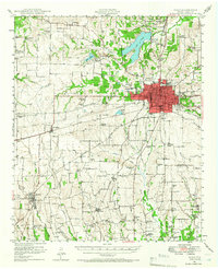
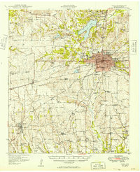
Other maps of this area

1903 · Paris
USGS Topo · 1:125,000
1948 · Paris
USGS Topo · 1:62,500
1949 · Paris
USGS Topo · 1:62,500

1953 · Texarkana
USGS Topo · 1:250,000

1956 · Texarkana
USGS Topo · 1:250,000
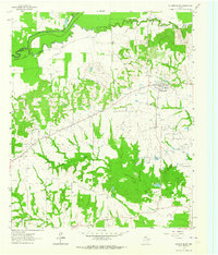
1962 · Sulphur Bluff
USGS Topo · 1:24,000
1963 · Minter
USGS Topo · 1:24,000
1964 · Pattonville
USGS Topo · 1:24,000
1964 · Tira
USGS Topo · 1:24,000
1964 · Cooper North
USGS Topo · 1:24,000