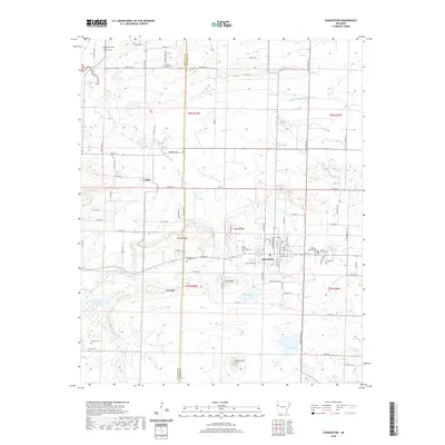
2020 Map of Charleston
USGS Topo · Published 2020About this map
The town of Charleston serves as the focal point of this survey of the Arkansas river valley transition, where the street grid is anchored by a Po and the E Main St corridor. The area’s history is preserved in a high concentration of burial grounds, including the Sacred Heart Cem and Garden Memorial Cem on the east side of town, and more remote sites like Morrow Cem and Carter Cem to the southwest.
Find a feature on this map
97 named features on this map. Tap any name to fly to it.
Don’t see what you’re looking for? This feature index may not catch every label — zoom into the map to look around manually.
Map Details
Editions of this 2020 Charleston Map
This is the sole edition of this map. No revisions or reprints were ever made.
Other maps of this area

1887 · Magazine Mountain #2
USGS Topo · 1:62,500

1887 · Magazine Mountain #3
USGS Topo · 1:62,500

1887 · Magazine Mountain
USGS Topo · 1:62,500

1890 · Magazine Mountain
USGS Topo · 1:125,000

1890 · Fort Smith
USGS Topo · 1:125,000

1906 · Lavaca
USGS Topo · 1:62,500

1906 · Barber
USGS Topo · 1:62,500

1934 · Booneville
USGS Topo · 1:48,000

1939 · Booneville
USGS Topo · 1:62,500

1943 · Fort Smith
USGS Topo · 1:125,000