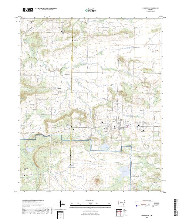
2024 Map of Charleston
USGS Topo · Published 2024About this map
Charleston and its surrounding agricultural and military landscapes are the focus of this modern topographic survey, which highlights the town's position in western Arkansas. The town site is defined by its grid of local streets like W Main St and E Main St, situated just north of the expansive NG Fort Chaffee MTC. To the west, the small settlement of Ursula sits near the headwaters of Doctors Creek, which winds through a landscape of ridges and low hills. The area is notable for its high density of family and community burial grounds, including the Garden Of Memories Cem, Sacred Heart Cem, and Parks Cem, providing significant geographic context for local history and genealogy.
Find a feature on this map
60 named features on this map. Tap any name to fly to it.
Don’t see what you’re looking for? This feature index may not catch every label — zoom into the map to look around manually.
Map Details
Editions of this 2024 Charleston Map
This is the sole edition of this map. No revisions or reprints were ever made.
Other maps of this area

1887 · Magazine Mountain #2
USGS Topo · 1:62,500

1887 · Magazine Mountain #3
USGS Topo · 1:62,500

1887 · Magazine Mountain
USGS Topo · 1:62,500

1890 · Magazine Mountain
USGS Topo · 1:125,000

1890 · Fort Smith
USGS Topo · 1:125,000

1906 · Lavaca
USGS Topo · 1:62,500

1906 · Barber
USGS Topo · 1:62,500

1934 · Booneville
USGS Topo · 1:48,000

1939 · Booneville
USGS Topo · 1:62,500

1943 · Fort Smith
USGS Topo · 1:125,000