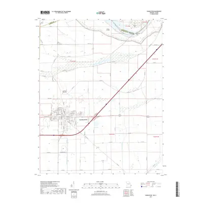
2017 Map of Charleston
USGS Topo · Published 2017About this map
Charleston serves as the focal point of this Mississippi County survey, revealing the grid of a historic river-country seat amidst the fertile lowlands of Southeast Missouri. The landscape is defined by its complex hydrography, where the natural meanders of Big Lake Bayou and Stevenson Bayou meet the engineered precision of the Wolf Hole Lateral and Fish Lake Ditch. To the north, the Mississippi River boundary is marked by shifting alluvial features including Sliding Towhead, Browns Bar, and the sharp curve of Dog Tooth Bend at the Illinois border.
Find a feature on this map
81 named features on this map. Tap any name to fly to it.
Don’t see what you’re looking for? This feature index may not catch every label — zoom into the map to look around manually.
Map Details
Editions of this 2017 Charleston Map
This is the sole edition of this map. No revisions or reprints were ever made.
Other maps of this area
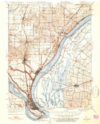
1931 · Cairo
USGS Topo · 1:62,500
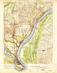
1933 · Cairo
USGS Topo · 1:62,500
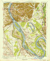
1934 · Thebes
USGS Topo · 1:62,500
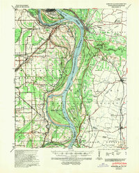
1939 · Wickliffe
USGS Topo · 1:62,500
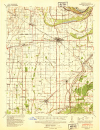
1939 · Charleston
USGS Topo · 1:62,500
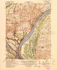
1939 · Cairo
USGS Topo · 1:62,500
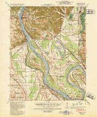
1939 · Thebes
USGS Topo · 1:62,500
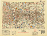
1949 · Paducah
USGS Topo · 1:250,000
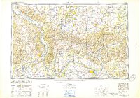
1950 · Paducah
USGS Topo · 1:250,000
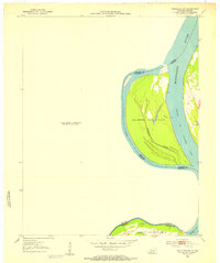
1951 · Wickliffe SW
USGS Topo · 1:24,000