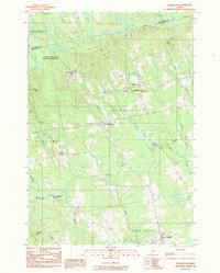
1983 Map of Charleston
USGS Topo · Published 1984About this map
Charleston serves as the focal point of this Penobscot County study, characterized by its traditional hilltop institutional sites and agricultural valleys. The town landscape is defined by the Higgins Classical Institute and the Faith Sch Theology, while the Charleston Correction Facility occupies the prominent southern slope of Bull Hill near a Radio Tower. Industry and local trade are represented by Rollins Mill on Rollins Brook and several active and Abandoned Gravel Pits dotting the roadsides toward Garland.
Find a feature on this map
53 named features on this map. Tap any name to fly to it.
Don’t see what you’re looking for? This feature index may not catch every label — zoom into the map to look around manually.
Map Details
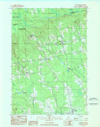
Editions of this 1983 Charleston Map
2 editions found
Other maps of this area

1902 · Bangor
USGS Topo · 1:62,500

1931 · Stetson
USGS Topo · 1:48,000

1932 · Dover-Foxcroft
USGS Topo · 1:48,000

1933 · Boyd Lake
USGS Topo · 1:62,500

1935 · Dover-Foxcroft
USGS Topo · 1:62,500

1935 · Stetson
USGS Topo · 1:62,500

1942 · Bangor
USGS Topo · 1:62,500

1946 · Bangor
USGS Topo · 1:62,500

1948 · Bangor
USGS Topo · 1:250,000

1951 · Boyd Lake
USGS Topo · 1:50,000