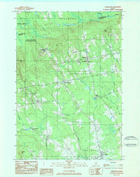
1983 Map of Charleston
USGS Topo · Published 1984About this map
Charleston and the surrounding township appear here in the early 1980s, characterized by the institutional presence of the Higgins Classical Institute and the Charleston Correction Facility perched atop Bull Hill. The settlement pattern reflects Maine's rural educational and correctional history, with the Faith Sch Theology and Church of the Open Bible anchoring the village center. To the west, Hicks Corner and West Charleston dot the landscape near Witham Brook, while the southeastern corner reaches toward East Corinth. Waterways like the Kenduskeag Stream and Dead Stream drain the varying elevations, which include local heights such as Hatch Hill and Davis Hill. Evidence of local industry is visible at Rollins Mill and several extraction sites, including an Abandoned Gravel Pit, providing a grounded look at the regional economy of Penobscot County during this era.
Find a feature on this map
50 named features on this map. Tap any name to fly to it.
Don’t see what you’re looking for? This feature index may not catch every label — zoom into the map to look around manually.
Map Details
Editions of this 1983 Charleston Map
2 editions found
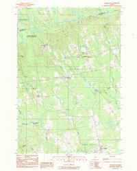
Other maps of this area

1902 · Bangor
USGS Topo · 1:62,500

1931 · Stetson
USGS Topo · 1:48,000

1932 · Dover-Foxcroft
USGS Topo · 1:48,000

1933 · Boyd Lake
USGS Topo · 1:62,500

1935 · Dover-Foxcroft
USGS Topo · 1:62,500

1935 · Stetson
USGS Topo · 1:62,500

1942 · Bangor
USGS Topo · 1:62,500

1946 · Bangor
USGS Topo · 1:62,500

1948 · Bangor
USGS Topo · 1:250,000

1951 · Boyd Lake
USGS Topo · 1:50,000