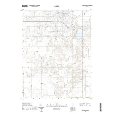
2021 Map of Charleston South
USGS Topo · Published 2021About this map
Eastern Illinois University serves as a major landmark on the southern edge of the city, where the urban grid of Charleston meets the winding valley of the Embarras River. The landscape transitions from organized residential streets to the dissected terrain surrounding Lake Charleston and the elevated ground of Fox Ridge. Numerous rural cemeteries, such as Old City Cem, Shiloh Cem, and Leitch Cem, are scattered across the uplands, providing valuable data points for genealogical research in this part of Illinois.
Find a feature on this map
103 named features on this map. Tap any name to fly to it.
Don’t see what you’re looking for? This feature index may not catch every label — zoom into the map to look around manually.
Map Details
Editions of this 2021 Charleston South Map
This is the sole edition of this map. No revisions or reprints were ever made.
Other maps of this area

1933 · Toledo
USGS Topo · 1:62,500

1934 · Mattoon
USGS Topo · 1:62,500

1935 · Arcola
USGS Topo · 1:48,000

1936 · Oakland
USGS Topo · 1:48,000

1937 · Mattoon
USGS Topo · 1:62,500

1938 · Toledo
USGS Topo · 1:62,500

1940 · Arcola
USGS Topo · 1:62,500

1942 · Oakland
USGS Topo · 1:62,500

1958 · Decatur
USGS Topo · 1:250,000

1961 · Decatur
USGS Topo · 1:250,000