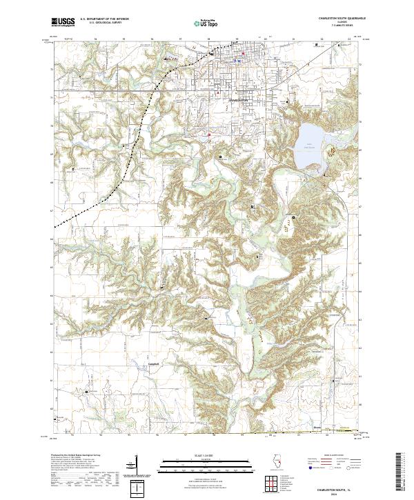
2024 Map of Charleston South
USGS Topo · Published 2024About this map
Charleston serves as the focal point of this Illinois survey, featuring the Coles County Courthouse and the extensive grounds of Eastern Illinois University. The city's northern grid gives way to a complex network of waterways and timbered slopes to the south, where Kickapoo Creek and the Embarras River converge near Lake Charleston. This drainage pattern creates a dissected landscape that stands in contrast to the surrounding prairie-turned-farmland, providing a home for diverse local landmarks like Fox Ridge.
Find a feature on this map
134 named features on this map. Tap any name to fly to it.
Don’t see what you’re looking for? This feature index may not catch every label — zoom into the map to look around manually.
Map Details
Editions of this 2024 Charleston South Map
This is the sole edition of this map. No revisions or reprints were ever made.
Other maps of this area

1933 · Toledo
USGS Topo · 1:62,500

1934 · Mattoon
USGS Topo · 1:62,500

1935 · Arcola
USGS Topo · 1:48,000

1936 · Oakland
USGS Topo · 1:48,000

1937 · Mattoon
USGS Topo · 1:62,500

1938 · Toledo
USGS Topo · 1:62,500

1940 · Arcola
USGS Topo · 1:62,500

1942 · Oakland
USGS Topo · 1:62,500

1958 · Decatur
USGS Topo · 1:250,000

1961 · Decatur
USGS Topo · 1:250,000