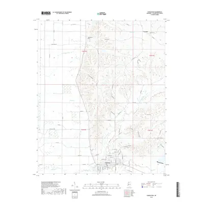
2018 Map of Charleston
USGS Topo · Published 2018About this map
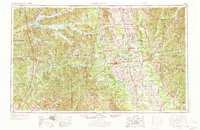
Charleston serves as the focal point of this Tallahatchie County landscape, situated where the rolling hills meet the flatter terrain of the delta region to the west. The town’s layout is clearly defined alongside the N Fork Tillatoba Cr, with landmarks like the New Town Cem and Saint Johns Cem providing significant points of interest for genealogical research. To the north, the small settlement of Teasdale sits near the headwaters of Buntyn Cr, while the prominent Tallahatchie Bluff overlooks the surrounding bottomlands. The map reveals a transition from the agricultural flats along Murphy Br to the more dissected upland terrain around Starck Hollow and Pine Hill Rd. A network of rural roads, including Fire Tower Rd and Sherman Creek Rd, provides access to these ridges, reflecting the area's ongoing mix of timberland and small-scale farming established in the early twentieth century.
Find a feature on this map
74 named features on this map. Tap any name to fly to it.
Don’t see what you’re looking for? This feature index may not catch every label — zoom into the map to look around manually.
Map Details
Editions of this 2018 Charleston Map
This is the sole edition of this map. No revisions or reprints were ever made.
Other maps of this area
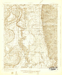
1932 · Philipp
USGS Topo · 1:48,000
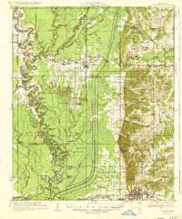
1935 · Crowder
USGS Topo · 1:62,500
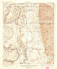
1935 · Philipp
USGS Topo · 1:62,500
1939 · Crowder
USGS Topo · 1:62,500
1939 · Philipp
USGS Topo · 1:62,500
1948 · Helena
USGS Topo · 1:250,000
1950 · Helena
USGS Topo · 1:250,000

1953 · Greenwood
USGS Topo · 1:250,000
1953 · West Point
USGS Topo · 1:250,000
1954 · Grenada
USGS Topo · 1:62,500