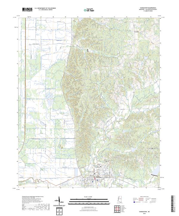
2024 Map of Charleston
USGS Topo · Published 2024About this map
The city of Charleston anchors this modern topographic perspective, situated where the flat delta lands transition into the rolling terrain of the Tallahatchie Bluff. The landscape is defined by the winding paths of Tillatoba Creek and its northern branch, which drain the intricate network of hollows to the east, such as Starck Hollow. This area reveals a significant concentration of local heritage sites, including the Masonic Cem and New Town Cem near the town center.
Find a feature on this map
66 named features on this map. Tap any name to fly to it.
Don’t see what you’re looking for? This feature index may not catch every label — zoom into the map to look around manually.
Map Details
Editions of this 2024 Charleston Map
This is the sole edition of this map. No revisions or reprints were ever made.
Other maps of this area

1932 · Philipp
USGS Topo · 1:48,000

1935 · Crowder
USGS Topo · 1:62,500

1935 · Philipp
USGS Topo · 1:62,500

1939 · Crowder
USGS Topo · 1:62,500

1939 · Philipp
USGS Topo · 1:62,500

1948 · Helena
USGS Topo · 1:250,000

1950 · Helena
USGS Topo · 1:250,000

1953 · Greenwood
USGS Topo · 1:250,000

1953 · West Point
USGS Topo · 1:250,000

1954 · Grenada
USGS Topo · 1:62,500