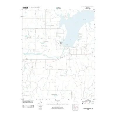
2010 Map of Charley Creek West
USGS Topo · Published 2010About this map
The Kaw Dam stands as the central engineering feature of this Kay County landscape, impounding the Arkansas River to form the expansive Kaw Lake. This hydrological development fundamentally altered the local terrain, creating distinctive shoreline features like McFadden Cove and Camp McFadden. To the west, the land transitions into a grid of rural roads and residential development, including the Sunset Memorial Gardens and Indian Hills Lake.
Find a feature on this map
49 named features on this map. Tap any name to fly to it.
Don’t see what you’re looking for? This feature index may not catch every label — zoom into the map to look around manually.
Map Details
Editions of this 2010 Charley Creek West Map
This is the sole edition of this map. No revisions or reprints were ever made.
Other maps of this area

1935 · Kaw
USGS Topo · 1:62,500

1936 · Belford
USGS Topo · 1:62,500

1955 · Enid
USGS Topo · 1:250,000

1958 · Enid
USGS Topo · 1:250,000

1963 · Charley Creek
USGS Topo · 1:24,000

1963 · Uncas
USGS Topo · 1:24,000

1964 · Charley Creek NE
USGS Topo · 1:24,000

1964 · Kaw City
USGS Topo · 1:24,000

1968 · Ponca City SE
USGS Topo · 1:24,000

1968 · Kildare
USGS Topo · 1:24,000