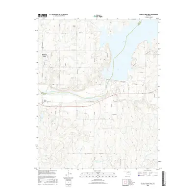
2016 Map of Charley Creek West
USGS Topo · Published 2016About this map
The Arkansas River and the expansive Kaw Lake dominate this 2016 survey along the border of Kay and Osage Counties. This landscape is defined by the transition from the eastern edges of Ponca City to the winding tributaries and reservoirs of the Oklahoma plains. To the north, Thomas Landing and Ponca Cove provide access to the water, while the rural interior is dotted with localized water management features like the Burlingame Number 1 Reservoir.
Find a feature on this map
70 named features on this map. Tap any name to fly to it.
Don’t see what you’re looking for? This feature index may not catch every label — zoom into the map to look around manually.
Map Details
Editions of this 2016 Charley Creek West Map
This is the sole edition of this map. No revisions or reprints were ever made.
Other maps of this area

1935 · Kaw
USGS Topo · 1:62,500

1936 · Belford
USGS Topo · 1:62,500

1955 · Enid
USGS Topo · 1:250,000

1958 · Enid
USGS Topo · 1:250,000

1963 · Charley Creek
USGS Topo · 1:24,000

1963 · Uncas
USGS Topo · 1:24,000

1964 · Charley Creek NE
USGS Topo · 1:24,000

1964 · Kaw City
USGS Topo · 1:24,000

1968 · Ponca City SE
USGS Topo · 1:24,000

1968 · Kildare
USGS Topo · 1:24,000