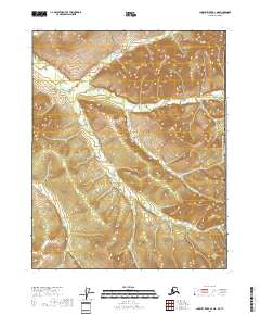
2018 Map of Charley River D-1 NE
USGS Topo · Published 2018About this map
The Canada United States of America international boundary defines the eastern edge of this interior Alaskan landscape. This high-latitude terrain is characterized by a dense network of drainages including Bull Creek, Midnight Cr, and Surveyor Cr, which carve through the elevations of the Yukon-Koyukuk Census Area. The absence of roads or permanent structures reflects the wilderness character of the region during this 2018 survey. Mapping of township and range lines, such as t14n r31e and t13n r32e, provides the primary spatial framework for this remote borderland, where the topographical contours indicate steep relief leading down to the creek beds. This map is a critical reference for understanding the hydrological patterns and exact placement of the national border in one of the most secluded sections of the American North.
Find a feature on this map
11 named features on this map. Tap any name to fly to it.
Don’t see what you’re looking for? This feature index may not catch every label — zoom into the map to look around manually.
Map Details
Editions of this 2018 Charley River D-1 NE Map
This is the sole edition of this map. No revisions or reprints were ever made.
Other maps of this area

1951 · Charley River
USGS Topo · 1:250,000

1951 · Black River
USGS Topo · 1:250,000
1956 · Black River A-1
USGS Topo · 1:63,360

1956 · Black River
USGS Topo · 1:250,000
1956 · Charley River D-1
USGS Topo · 1:63,360

1956 · Charley River
USGS Topo · 1:250,000

1964 · Black River
USGS Topo · 1:250,000
2018 · Black River A-1 SW
USGS Topo · 1:25,000
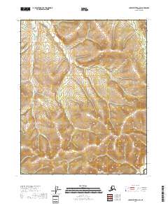
2018 · Charley River D-1 SW
USGS Topo · 1:25,000
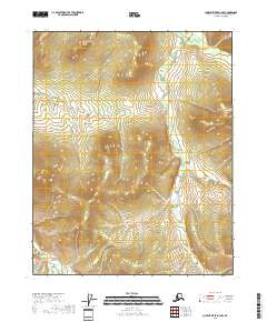
2018 · Charley River D-1 NW
USGS Topo · 1:25,000