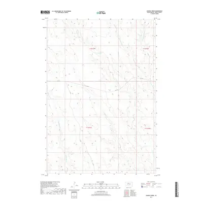
2017 Map of Charlie Creek
USGS Topo · Published 2017About this map
Charlie Creek and its neighboring drainages define this stretch of Dewey County, South Dakota. The landscape is marked by a network of seasonal and permanent watercourses, including Fox Cr and the descriptively named Tall Prairie Chicken Cr with its eastern and western branches. This 2017 survey reflects the sparse, rural character of the Great Plains, where transportation infrastructure is limited to primary corridors like BIA Hwy 8 and the north-south alignment of 261 Ave. The map provides a clear look at the Public Land Survey System (PLSS) grid, documenting townships T11N and T12N across ranges R27E and R28E. This technical layout highlights the enduring importance of section lines and range boundaries in organizing land use and property in the American West.
Find a feature on this map
12 named features on this map. Tap any name to fly to it.
Don’t see what you’re looking for? This feature index may not catch every label — zoom into the map to look around manually.
Map Details
Editions of this 2017 Charlie Creek Map
This is the sole edition of this map. No revisions or reprints were ever made.
Other maps of this area

1953 · McIntosh
USGS Topo · 1:250,000

1954 · Pierre
USGS Topo · 1:250,000
1956 · Rousseau Creek SW
USGS Topo · 1:24,000

1958 · Pierre
USGS Topo · 1:250,000

1958 · McIntosh
USGS Topo · 1:250,000
1969 · Rousseau Creek
USGS Topo · 1:24,000
1969 · No Heart Creek SW
USGS Topo · 1:24,000
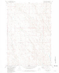
1981 · Charlie Creek
USGS Topo · 1:24,000
1981 · Rousseau Creek NW
USGS Topo · 1:24,000
1981 · No Heart Creek
USGS Topo · 1:24,000