
1969 Map of No Heart Creek SW
USGS Topo · Published 1972About this map
The vast waters of Lake Oahe dominate this landscape, following the completion of the Oahe Dam and the resulting inundation of the historic river valleys. This 1969 field-checked survey captures the transformed geography where the Cheyenne River and Missouri River meet. The northern portion of the sheet is defined by the Cheyenne River Indian Reservation Boundary, marking a significant cultural and administrative border in central South Dakota. The topography is characterized by a series of deeply incised drainage systems, including No Heart Creek, Tall Prairie Chicken Creek, and Charlie Creek, which now form jagged inlets along the reservoir's western shore. These named creeks and the intricate shoreline provide a detailed record of the landforms at the intersection of Dewey, Sully, and Stanley counties during the late twentieth century.
Find a feature on this map
11 named features on this map. Tap any name to fly to it.
Don’t see what you’re looking for? This feature index may not catch every label — zoom into the map to look around manually.
Map Details
Editions of this 1969 No Heart Creek SW Map
This is the sole edition of this map. No revisions or reprints were ever made.
Other maps of this area

1954 · Pierre
USGS Topo · 1:250,000

1958 · Pierre
USGS Topo · 1:250,000

1969 · Rousseau Creek
USGS Topo · 1:24,000

1969 · No Heart Creek SE
USGS Topo · 1:24,000

1973 · Iron Post Buttes
USGS Topo · 1:24,000
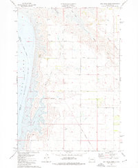
1973 · Mail Shack Creek
USGS Topo · 1:24,000

1981 · Charlie Creek
USGS Topo · 1:24,000
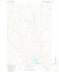
1981 · No Heart Creek NE
USGS Topo · 1:24,000
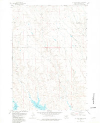
1981 · No Heart Creek
USGS Topo · 1:24,000

1982 · Mission Ridge
USGS Topo · 1:24,000