
1973 Map of Iron Post Buttes
USGS Topo · Published 1976About this map
Lake Oahe dominates this mid-1970s landscape, its vast blue expanse filling the Missouri River trench and backing up into numerous draws and coulees. The map shows the complex shoreline where the rising waters of the reservoir met the dissected breaks of the Missouri River valley, creating a series of deep inlets at the mouths of Brush Creek, Sand Creek, and Mission Creek. On the western shore, the high ground of the Iron Post Buttes rises above the water, marking the transition from the river valley to the surrounding plains of Stanley County.
Find a feature on this map
11 named features on this map. Tap any name to fly to it.
Don’t see what you’re looking for? This feature index may not catch every label — zoom into the map to look around manually.
Map Details
Editions of this 1973 Iron Post Buttes Map
This is the sole edition of this map. No revisions or reprints were ever made.
Other maps of this area

1954 · Pierre
USGS Topo · 1:250,000

1958 · Pierre
USGS Topo · 1:250,000

1969 · Rousseau Creek
USGS Topo · 1:24,000

1969 · No Heart Creek SE
USGS Topo · 1:24,000

1969 · No Heart Creek SW
USGS Topo · 1:24,000
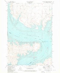
1973 · Iron Post Buttes SE
USGS Topo · 1:24,000

1973 · Iron Post Buttes SW
USGS Topo · 1:24,000
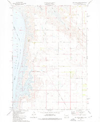
1973 · Mail Shack Creek
USGS Topo · 1:24,000

1982 · Mission Ridge
USGS Topo · 1:24,000

1983 · Standing Butte
USGS Topo · 1:24,000