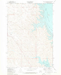
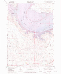
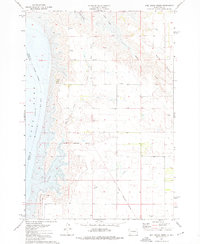
1973 Map of Iron Post Buttes SW
USGS Topo · Published 1976About this map
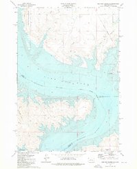
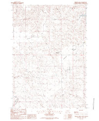
Lake Oahe dominates the eastern edge of this Stanley County landscape, following the course of the Missouri River as it serves as an Indefinite Boundary between Stanley and Sully counties. The western uplands are defined by deep drainage basins including Deep Creek, Snake Creek, and Chantier Creek, which cut through the high plains toward the reservoir. A significant historical marker, the Old Indian Treaty Boundary, traverses the northern portion of the sheet, providing a spatial record of nineteenth-century land agreements. For aviation history and transportation research, the Thompson Landing Field stands out as a localized landmark in this sparsely populated stretch of South Dakota. The topography here reflects the post-dam era of the mid-twentieth century, with underwater contours in the lake based on data from 1947, prior to the full inundation of the river valley.
Find a feature on this map
10 named features on this map. Tap any name to fly to it.
Don’t see what you’re looking for? This feature index may not catch every label — zoom into the map to look around manually.
Map Details
Editions of this 1973 Iron Post Buttes SW Map
This is the sole edition of this map. No revisions or reprints were ever made.
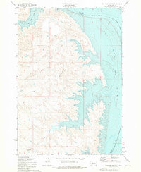
Other maps of this area
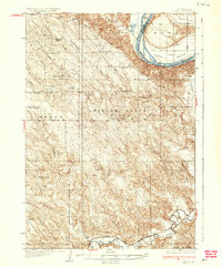
1937 · Oahe
USGS Topo · 1:62,500

1954 · Pierre
USGS Topo · 1:250,000

1958 · Pierre
USGS Topo · 1:250,000
1973 · Iron Post Buttes SE
USGS Topo · 1:24,000
1973 · Iron Post Buttes
USGS Topo · 1:24,000
1973 · Willow Creek Butte
USGS Topo · 1:24,000
1973 · Mail Shack Creek
USGS Topo · 1:24,000
1980 · Princes Ranch
USGS Topo · 1:25,000
1982 · Lacy
USGS Topo · 1:24,000
1982 · Mission Ridge
USGS Topo · 1:24,000