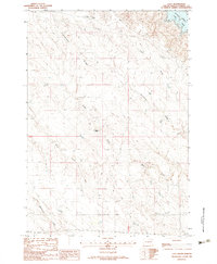
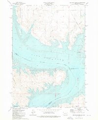
1982 Map of Lacy
USGS Topo · Published 1983About this map
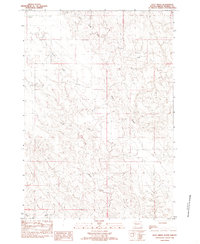
Lacy and the surrounding Stanley County landscape are defined by the complex drainage systems that feed into the massive Lake Oahe reservoir. Located on the western banks of this Missouri River impoundment, the area is dissected by a network of seasonal watercourses including Huckfeldt Draw, Casey Draw, and True Draw. These erosional features create a highly textured terrain of coulees and breaks that fall away from the high ground of Anderson Ridge.
Find a feature on this map
15 named features on this map. Tap any name to fly to it.
Don’t see what you’re looking for? This feature index may not catch every label — zoom into the map to look around manually.
Map Details
Editions of this 1982 Lacy Map
This is the sole edition of this map. No revisions or reprints were ever made.
Other maps of this area
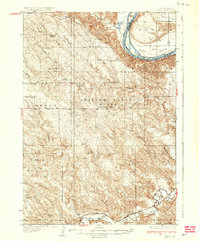
1937 · Oahe
USGS Topo · 1:62,500
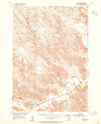
1953 · Teton
USGS Topo · 1:24,000
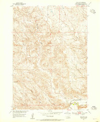
1953 · Oahe SW
USGS Topo · 1:24,000

1954 · Pierre
USGS Topo · 1:250,000

1958 · Pierre
USGS Topo · 1:250,000
1973 · Iron Post Buttes SE
USGS Topo · 1:24,000
1973 · Iron Post Buttes SW
USGS Topo · 1:24,000
1973 · Willow Creek Butte
USGS Topo · 1:24,000
1980 · Princes Ranch
USGS Topo · 1:25,000
1982 · Doty Ridge
USGS Topo · 1:24,000