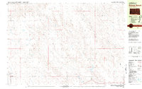
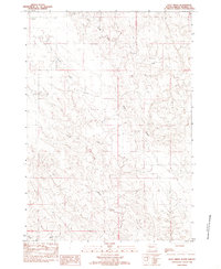
1980 Map of Princes Ranch
USGS Topo · Published 1981About this map
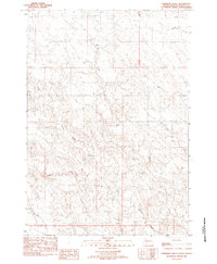
Princes Ranch and several other family-named homesteads anchor this remote section of Stanley County during the early 1980s. The landscape is defined by the drainage networks of Willow Creek and Lance Creek, which carve through the high plains terrain. This map provides a clear record of land use and occupancy in a region where large-scale ranching is the primary footprint on the land. Genealogists and local historians can pinpoint specific holdings such as the Miller Ranch, Lyle Hedman Ranch, and Ralph Hedman Ranch, showing the distribution of families across the West River country. The presence of Government Draw in the southeast corner further illustrates the seasonal watercourses and topographic breaks that dictate the placement of ranch buildings and local roads.
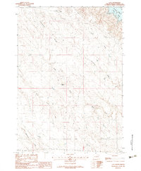
Find a feature on this map
10 named features on this map. Tap any name to fly to it.
Don’t see what you’re looking for? This feature index may not catch every label — zoom into the map to look around manually.
Map Details
Editions of this 1980 Princes Ranch Map
This is the sole edition of this map. No revisions or reprints were ever made.
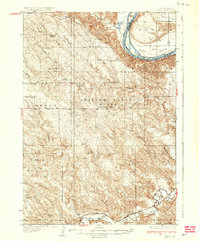
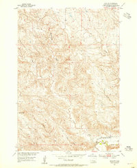
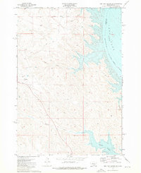
Other maps of this area
1937 · Oahe
USGS Topo · 1:62,500
1953 · Oahe SW
USGS Topo · 1:24,000

1954 · Pierre
USGS Topo · 1:250,000

1958 · Pierre
USGS Topo · 1:250,000
1973 · Iron Post Buttes SW
USGS Topo · 1:24,000
1982 · Doty Ridge
USGS Topo · 1:24,000
1982 · Lacy
USGS Topo · 1:24,000
1982 · Sansarc
USGS Topo · 1:24,000
1982 · Hayes South
USGS Topo · 1:24,000
1982 · Hohrman Ranch
USGS Topo · 1:24,000