
1983 Map of Standing Butte
USGS Topo · Published 1983About this map
Standing Butte Triple-U Buffalo Ranch anchors this landscape of Stanley County, South Dakota, as it appeared in the late 1970s and early 1980s. The terrain is defined by the prominent Standing Butte and the drainage patterns of East Fork Minneconjou Creek and Chantier Creek. A Historical Marker is noted on the slopes of the butte, suggesting the cultural or historical significance of this landform to the local area. Evidence of modern ranching and rural aviation is seen in the Deal Landing Strip, while the deep relief of Buck Williams Draw cuts through the northern section of the survey. The map's detail provides a clear view of the ranching infrastructure and natural landmarks that characterized this portion of the South Dakota plains during the final decades of the 20th century.
Find a feature on this map
10 named features on this map. Tap any name to fly to it.
Don’t see what you’re looking for? This feature index may not catch every label — zoom into the map to look around manually.
Map Details
Editions of this 1983 Standing Butte Map
This is the sole edition of this map. No revisions or reprints were ever made.
Other maps of this area

1937 · Oahe
USGS Topo · 1:62,500

1954 · Pierre
USGS Topo · 1:250,000

1956 · Crockett Mountains
USGS Topo · 1:24,000

1958 · Pierre
USGS Topo · 1:250,000

1973 · Iron Post Buttes SW
USGS Topo · 1:24,000

1973 · Iron Post Buttes
USGS Topo · 1:24,000

1980 · Princes Ranch
USGS Topo · 1:25,000
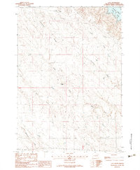
1982 · Lacy
USGS Topo · 1:24,000

1982 · Mission Ridge
USGS Topo · 1:24,000
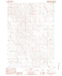
1983 · Standing Butte SW
USGS Topo · 1:24,000