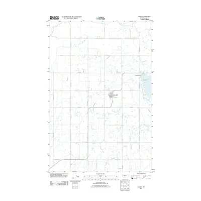
2011 Map of Charlo
USGS Topo · Published 2011About this map
The town of Charlo serves as the central hub of this agricultural landscape in Lake County, Montana. The map illustrates a complex network of irrigation infrastructure essential to the region, including the Post Canal, Post B Canal, Post C Canal, and Post 7 D Ditch. This intricate system of laterals and ditches supports the local farming economy, centered around the Charlo Post Office and the Charlo - Moiese Rural Fire Dist.
Find a feature on this map
40 named features on this map. Tap any name to fly to it.
Don’t see what you’re looking for? This feature index may not catch every label — zoom into the map to look around manually.
Map Details
Editions of this 2011 Charlo Map
This is the sole edition of this map. No revisions or reprints were ever made.
Other maps of this area

1920 · Flathead Lake
USGS Topo · 1:125,000

1956 · Wallace
USGS Topo · 1:250,000

1960 · Wallace
USGS Topo · 1:250,000

1964 · Dixon
USGS Topo · 1:24,000

1964 · Fort Connah
USGS Topo · 1:24,000

1964 · Ronan
USGS Topo · 1:24,000

1964 · Lower Crow Reservoir
USGS Topo · 1:24,000

1964 · Saint Ignatius
USGS Topo · 1:24,000

1964 · Ravalli
USGS Topo · 1:24,000

1965 · Sloan
USGS Topo · 1:24,000