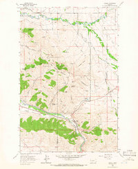
1964 Map of Ravalli
USGS Topo · Published 1966About this map
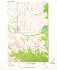
The National Bison Range dominates this mid-1960s landscape, protecting the herds across a complex terrain of ridges and summits like Red Sleep Mountain and Wild Horse Mountain. Settlement is concentrated at Ravalli and the Bison Range Headquarters, with the local infrastructure shaped by the Northern Pacific railroad and the Lower Jocko Canal. The topography is marked by several notable canyons and gulches, including Turkeywoman Gulch and Twin Canyons, while the Mission Creek and Jocko River provide the primary drainage for the region. Notable landmarks include a Lookout Tower and the unique Ravalli Potholes, alongside evidence of local industry at a Gravel Pit. The map also indicates a Cem near Pistol Creek, providing a specific point of interest for genealogical research in this portion of the Flathead Indian Reservation.
Find a feature on this map
40 named features on this map. Tap any name to fly to it.
Don’t see what you’re looking for? This feature index may not catch every label — zoom into the map to look around manually.
Map Details
Editions of this 1964 Ravalli Map
2 editions found
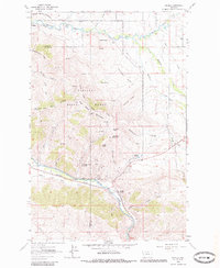
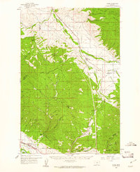
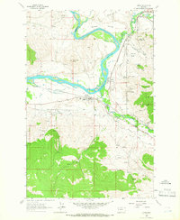
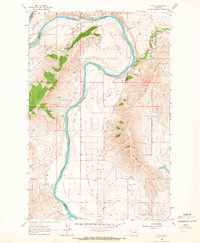
Other maps of this area

1956 · Wallace
USGS Topo · 1:250,000

1959 · Alberton
USGS Topo · 1:62,500
1959 · Arlee
USGS Topo · 1:62,500

1960 · Wallace
USGS Topo · 1:250,000
1964 · Dixon
USGS Topo · 1:24,000

1964 · Fort Connah
USGS Topo · 1:24,000
1964 · Saint Ignatius
USGS Topo · 1:24,000
1965 · Sloan
USGS Topo · 1:24,000
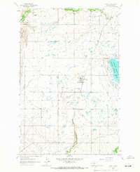
1965 · Charlo
USGS Topo · 1:24,000
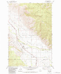
1984 · Arlee
USGS Topo · 1:24,000