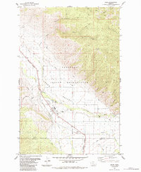
1984 Map of Arlee
USGS Topo · Published 1984About this map
The Flathead Indian Reservation dominates this landscape, where the Jocko Valley provides a corridor for both natural and industrial movement. The settlement of Arlee serves as a local hub, featuring a High Sch, a Fish Hatchery, and a central Rodeo Ground. This community is closely tied to the Jocko River and the Burlington Northern railroad, which runs parallel to the waterway through the heart of the valley.
Find a feature on this map
28 named features on this map. Tap any name to fly to it.
Don’t see what you’re looking for? This feature index may not catch every label — zoom into the map to look around manually.
Map Details
Editions of this 1984 Arlee Map
2 editions found
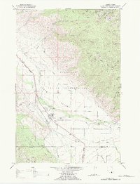
Other maps of this area

1921 · Elbow Lake
USGS Topo · 1:125,000

1955 · Choteau
USGS Topo · 1:250,000

1956 · Wallace
USGS Topo · 1:250,000

1957 · Choteau
USGS Topo · 1:250,000

1958 · Choteau
USGS Topo · 1:250,000

1959 · Arlee
USGS Topo · 1:62,500

1960 · Wallace
USGS Topo · 1:250,000

1962 · Choteau
USGS Topo · 1:250,000

1964 · Saint Ignatius
USGS Topo · 1:24,000

1964 · Ravalli
USGS Topo · 1:24,000