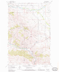
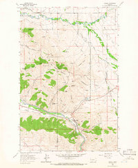
1964 Map of Ravalli
USGS Topo · Published 1985About this map
The National Bison Range dominates the landscape of this 1964 survey, centered on the high peaks and protected valleys of Lake and Sanders counties. The Bison Range Headquarters is positioned in the northwest, providing access to the steep terrain of Headquarters Ridge and Red Sleep Mountain. A Lookout Tower sits atop the high ground, overlooking a network of drainages including Pauline Creek and the South Fork.
Find a feature on this map
47 named features on this map. Tap any name to fly to it.
Don’t see what you’re looking for? This feature index may not catch every label — zoom into the map to look around manually.
Map Details
Editions of this 1964 Ravalli Map
2 editions found
Other maps of this area

1956 · Wallace
USGS Topo · 1:250,000

1959 · Alberton
USGS Topo · 1:62,500
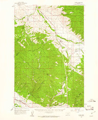
1959 · Arlee
USGS Topo · 1:62,500

1960 · Wallace
USGS Topo · 1:250,000
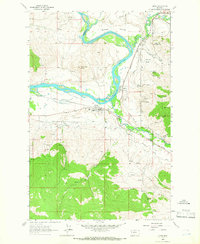
1964 · Dixon
USGS Topo · 1:24,000

1964 · Fort Connah
USGS Topo · 1:24,000
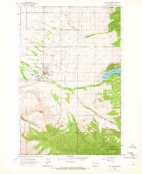
1964 · Saint Ignatius
USGS Topo · 1:24,000
1964 · Ravalli
USGS Topo · 1:24,000
1965 · Sloan
USGS Topo · 1:24,000
1965 · Charlo
USGS Topo · 1:24,000