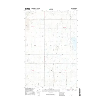
2017 Map of Charlo
USGS Topo · Published 2017About this map
Charlo serves as the central hub of this agricultural landscape, where an intricate network of irrigation projects defines the valley floor. The extensive water management system includes the Post Canal, Post B Canal, Post C Canal, and the Post 7-D Ditch, all vital to the region's farming economy. To the west, the Moiese Hills rise above the irrigated plains, while the eastern edge is dominated by the Ninepipe Reservoir, a significant water body for both storage and habitat. The terrain transition is marked by features like Dublin Gulch and the winding course of Crow Cr. Local transportation is anchored by a grid of named routes reflecting the area's rural development, including Hall Rd, Herak Rd, and Logan Rd, which connect the scattered homesteads and fields to the town center of Charlo.
Find a feature on this map
50 named features on this map. Tap any name to fly to it.
Don’t see what you’re looking for? This feature index may not catch every label — zoom into the map to look around manually.
Map Details
Editions of this 2017 Charlo Map
This is the sole edition of this map. No revisions or reprints were ever made.
Other maps of this area

1920 · Flathead Lake
USGS Topo · 1:125,000

1956 · Wallace
USGS Topo · 1:250,000

1960 · Wallace
USGS Topo · 1:250,000

1964 · Dixon
USGS Topo · 1:24,000

1964 · Fort Connah
USGS Topo · 1:24,000

1964 · Ronan
USGS Topo · 1:24,000

1964 · Lower Crow Reservoir
USGS Topo · 1:24,000

1964 · Saint Ignatius
USGS Topo · 1:24,000

1964 · Ravalli
USGS Topo · 1:24,000

1965 · Sloan
USGS Topo · 1:24,000