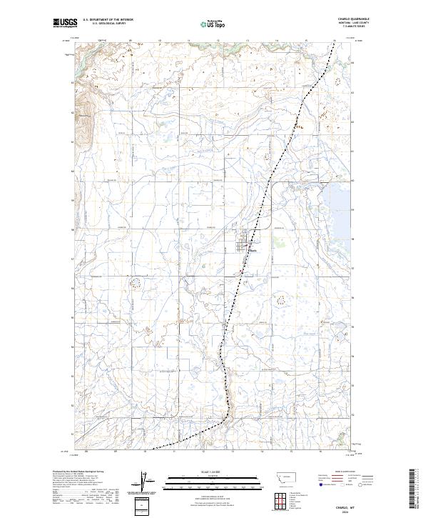
2024 Map of Charlo
USGS Topo · Published 2024About this map
The town of Charlo serves as the central hub of this agricultural and conservation landscape in Lake County. The geography is defined by a sophisticated network of irrigation infrastructure, including Post Canal, Post F Canal, and Post 7-D Ditch, which support the surrounding farmlands. These water systems are interspersed with significant conservation zones, most notably the Ninepipe National Wildlife Refuge and multiple sections of the Lake County Waterfowl Production Area, reflecting a modern landscape managed for both production and habitat. To the northwest, the Moiese Hills rise above the drainage of Crow Creek. The local road network preserves the names of early resident families and historic transit routes, such as Dublin Gulch Rd, Old Freight Rd, and Jess Rhoades Way, providing a detailed look at the rural land division and infrastructure of the early 21st century.
Find a feature on this map
52 named features on this map. Tap any name to fly to it.
Don’t see what you’re looking for? This feature index may not catch every label — zoom into the map to look around manually.
Map Details
Editions of this 2024 Charlo Map
This is the sole edition of this map. No revisions or reprints were ever made.
Other maps of this area

1920 · Flathead Lake
USGS Topo · 1:125,000

1956 · Wallace
USGS Topo · 1:250,000

1960 · Wallace
USGS Topo · 1:250,000

1964 · Dixon
USGS Topo · 1:24,000

1964 · Fort Connah
USGS Topo · 1:24,000

1964 · Ronan
USGS Topo · 1:24,000

1964 · Lower Crow Reservoir
USGS Topo · 1:24,000

1964 · Saint Ignatius
USGS Topo · 1:24,000

1964 · Ravalli
USGS Topo · 1:24,000

1965 · Sloan
USGS Topo · 1:24,000