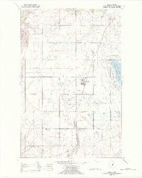
1988 Map of Charlo
USGS Topo · Published 1988About this map
The settlement of Charlo serves as a focal point within the Flathead Indian Reservation during the late 1980s. This landscape is defined by an extensive network of irrigation canals and ditches that support agriculture across the valley floor, bounded to the west by the Moiese Hills. The infrastructure of the era is clearly marked, from the Northern Pacific railroad line passing through the town center to the High Sch and local Station.
Find a feature on this map
18 named features on this map. Tap any name to fly to it.
Don’t see what you’re looking for? This feature index may not catch every label — zoom into the map to look around manually.
Map Details
Editions of this 1988 Charlo Map
This is the sole edition of this map. No revisions or reprints were ever made.
Other maps of this area

1920 · Flathead Lake
USGS Topo · 1:125,000

1956 · Wallace
USGS Topo · 1:250,000

1960 · Wallace
USGS Topo · 1:250,000

1964 · Dixon
USGS Topo · 1:24,000

1964 · Fort Connah
USGS Topo · 1:24,000

1964 · Ronan
USGS Topo · 1:24,000

1964 · Lower Crow Reservoir
USGS Topo · 1:24,000

1964 · Saint Ignatius
USGS Topo · 1:24,000

1964 · Ravalli
USGS Topo · 1:24,000

1965 · Sloan
USGS Topo · 1:24,000