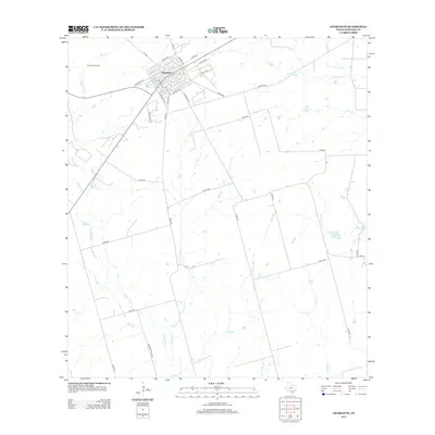
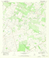
2012 Map of Charlotte
USGS Topo · Published 2012About this map
Charlotte serves as the central hub of this South Texas landscape, defined by a grid of streets such as Harrison Ave and S Edwards Ave that meet near the intersection of several farm-to-market roads. The town's economic relationship with the land is evident in the nearby Charlotte Oil Field, which marks the industrial character of the region.
Find a feature on this map
40 named features on this map. Tap any name to fly to it.
Don’t see what you’re looking for? This feature index may not catch every label — zoom into the map to look around manually.
Map Details
Editions of this 2012 Charlotte Map
This is the sole edition of this map. No revisions or reprints were ever made.
Other maps of this area
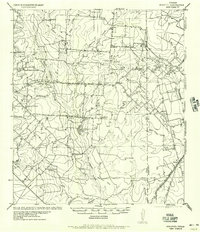
1934 · Schattel
USGS Topo · 1:62,500

1953 · Crystal City
USGS Topo · 1:250,000

1955 · Crystal City
USGS Topo · 1:250,000
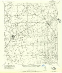
1956 · Jourdanton
USGS Topo · 1:62,500
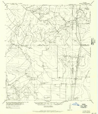
1956 · Hindes
USGS Topo · 1:62,500
1956 · Franklin Settlement
USGS Topo · 1:62,500
1961 · Crystal City
USGS Topo · 1:250,000
1968 · Crystal City
USGS Topo · 1:250,000
1968 · Jourdanton
USGS Topo · 1:24,000
1968 · Dobrowolski
USGS Topo · 1:24,000