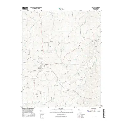
2016 Map of Charlotte
USGS Topo · Published 2016About this map
Charlotte serves as a central hub in this Tennessee landscape, where the confluence of Town Br and Bartons Cr shaped the early layout of the town. This mid-2010s survey reveals a dense concentration of lineage-rich sites, particularly numerous family and community burial grounds such as Charlotte Cem and Roberts Cem near the town center. The surrounding countryside is defined by small named settlements like Dull, Promise, and White Oak Flat, reflecting a long-standing rural community structure tied to the terrain of the Harris Hollow and Scott Hollow.
Find a feature on this map
133 named features on this map. Tap any name to fly to it.
Don’t see what you’re looking for? This feature index may not catch every label — zoom into the map to look around manually.
Map Details
Editions of this 2016 Charlotte Map
This is the sole edition of this map. No revisions or reprints were ever made.
Other maps of this area

1930 · White Bluff
USGS Topo · 1:62,500

1933 · White Bluff
USGS Topo · 1:62,500

1936 · Burns
USGS Topo · 1:24,000

1936 · Dickson
USGS Topo · 1:24,000

1953 · Dickson
USGS Topo · 1:24,000

1953 · Burns
USGS Topo · 1:24,000

1956 · Nashville
USGS Topo · 1:250,000

1957 · Cheatham Dam
USGS Topo · 1:24,000

1958 · Charlotte
USGS Topo · 1:24,000

1958 · Cumberland Furnace
USGS Topo · 1:24,000