
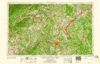
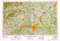
1960 Map of Charlotte
USGS Topo · Published 1960About this map
The Catawba River and Yadkin River basins define the Piedmont landscape of the mid-20th century, a region undergoing significant industrial and residential transformation. The massive footprint of the Charlotte Naval Ammunition Depot and the protected grounds of Kings Mountain National Military Park anchor the southern half of the map, while the northwestern corner rises into the South Mountains and the edge of Pisgah National Forest.
Find a feature on this map
115 named features on this map. Tap any name to fly to it.
Don’t see what you’re looking for? This feature index may not catch every label — zoom into the map to look around manually.
Map Details
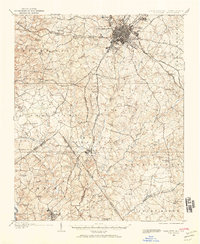
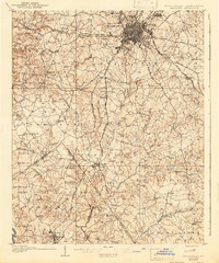
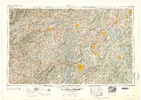
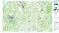
Editions of this 1960 Charlotte Map
2 editions found
Historical Maps of Eden Gardens Through Time
9 maps found
1905 Charlotte
Mecklenburg County, NC
1907 Charlotte
Mecklenburg County, NC

1941 Charlotte
Mecklenburg County, NC
1942 Charlotte
Mecklenburg County, NC
1953 Charlotte
Mecklenburg County, NC
1954 Charlotte
Mecklenburg County, NC
1960 Charlotte
Mecklenburg County, NC

1962 Charlotte
Mecklenburg County, NC
1985 Charlotte
Mecklenburg County, NC