1907 Map of Charlotte
USGS Topo · Published 1942About this map
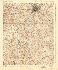
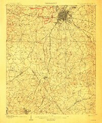
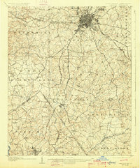
The growing city of Charlotte serves as the focal point of this early twentieth-century survey, revealing the urban core before its massive modern expansion. The town's grid is firmly established, radiating outward toward suburban developments like Dilworth and Biddleville. This era is defined by the convergence of the Southern Railway and the Seaboard Air Line, which fueled the regional textile and trade economy. To the south, the landscape transitions into a network of agrarian communities and historic congregations that anchored rural life, including Steel Creek Church, Sharon Church, and Providence Church.
Find a feature on this map
75 named features on this map. Tap any name to fly to it.
Don’t see what you’re looking for? This feature index may not catch every label — zoom into the map to look around manually.
Map Details
Editions of this 1907 Charlotte Map
4 editions found
Other maps of this area

1905 · Charlotte
USGS Topo · 1:48,000

1907 · Charlotte
USGS Topo · 1:62,500

1914 · Gastonia
USGS Topo · 1:48,000

1916 · Gastonia
USGS Topo · 1:62,500

1941 · Charlotte
USGS Topo · 1:125,000

1941 · Spartanburg
USGS Topo · 1:250,000

1942 · Charlotte
USGS Topo · 1:125,000

1947 · Clover
USGS Topo · 1:62,500

1948 · Paw Creek
USGS Topo · 1:24,000

1948 · Derita
USGS Topo · 1:24,000