
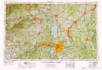
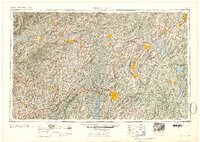
1962 Map of Charlotte
USGS Topo · Published 1962About this map
Charlotte sits at the heart of a rapidly evolving Piedmont corridor, where the textile economy and major infrastructure projects reshaped the landscape by the early 1960s. The hydro-electric potential of the Catawba River is fully realized through a chain of reservoirs including the newly formed Lake Norman, Lake Wylie, and Mountain Island Lake, which provided power for the region's burgeoning industrial centers. The map documents significant institutional footprints, from the Charlotte Naval Ammunition Depot to numerous state facilities like Prison Camp 902.
Find a feature on this map
344 named features on this map. Tap any name to fly to it.
Don’t see what you’re looking for? This feature index may not catch every label — zoom into the map to look around manually.
Map Details
Editions of this 1962 Charlotte Map
This is the sole edition of this map. No revisions or reprints were ever made.
Historical Maps of Eden Gardens Through Time
9 maps found
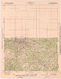
1905 Charlotte
Mecklenburg County, NC
1907 Charlotte
Mecklenburg County, NC

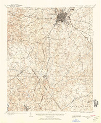
1941 Charlotte
Mecklenburg County, NC
1942 Charlotte
Mecklenburg County, NC
1953 Charlotte
Mecklenburg County, NC
1954 Charlotte
Mecklenburg County, NC

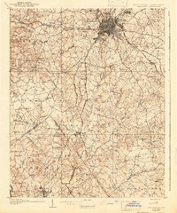
1960 Charlotte
Mecklenburg County, NC
1962 Charlotte
Mecklenburg County, NC
1985 Charlotte
Mecklenburg County, NC