
1956 Map of Charlottesville
USGS Topo · Published 1966About this map
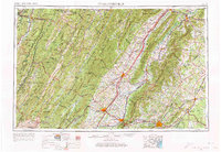
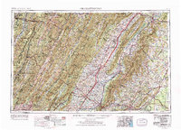
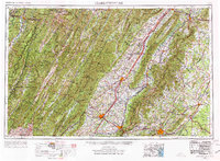
Appalachian Mountains dominate this mid-century landscape, framing the expansive Shenandoah Valley and the prominent ridges of Massanutten Mountain. The region is defined by its major river systems, with the South Fork Shenandoah River and North Fork Shenandoah River snaking through the lowlands while the James River and Rappahannock River drain the eastern slopes. Large tracts of protected land, including Shenandoah National Park and the George Washington National Forest, anchor the terrain.
Find a feature on this map
74 named features on this map. Tap any name to fly to it.
Don’t see what you’re looking for? This feature index may not catch every label — zoom into the map to look around manually.
Map Details
Editions of this 1956 Charlottesville Map
4 editions found
Other maps of this area

1884 · Harpers Ferry
USGS Topo · 1:125,000

1886 · St. George
USGS Topo · 1:125,000

1887 · Spottsylvania
USGS Topo · 1:125,000

1887 · Lewisburg
USGS Topo · 1:125,000

1889 · Beverly
USGS Topo · 1:125,000

1890 · Goochland
USGS Topo · 1:125,000

1891 · Harpers Ferry
USGS Topo · 1:125,000

1891 · Palmyra
USGS Topo · 1:125,000

1891 · Lewisburg
USGS Topo · 1:125,000

1891 · Huntersville
USGS Topo · 1:125,000