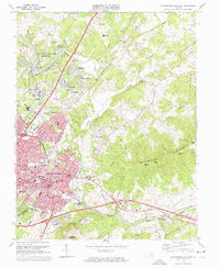
1973 Map of Charlottesville East
USGS Topo · Published 1974About this map
Monticello, the home of Thomas Jefferson, and the Jefferson Tomb dominate the southern landscape of this 1973 survey, offering a precise look at these landmark sites alongside the nearby Michie Tavern. The map tracks the expansion of Charlottesville and its surrounding communities during the early 1970s, including Pantops, Shadwell, and Milton. The Rivanna River snakes through the center, while the South Fork Rivanna River Reservoir sits to the northwest, shaped by the South Fork Rivanna River Dam. This edition provides exceptional detail for genealogists, marking several family-named burial grounds like the Garrison Cem and Munday Cem, as well as the Hebrew Cem and Riverview Cem. Industrial and civic life is noted through the Southern Railroad corridor and institutional sites such as the Blue Ridge Sanatorium and Martha Jefferson Hospital.
Find a feature on this map
126 named features on this map. Tap any name to fly to it.
Don’t see what you’re looking for? This feature index may not catch every label — zoom into the map to look around manually.
Map Details
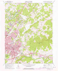
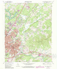
Editions of this 1973 Charlottesville East Map
3 editions found
Other maps of this area

1891 · Palmyra
USGS Topo · 1:125,000

1892 · Buckingham
USGS Topo · 1:125,000

1892 · Gordonsville
USGS Topo · 1:125,000

1892 · Harrisonburg
USGS Topo · 1:125,000

1895 · Palmyra
USGS Topo · 1:125,000

1897 · Palmyra
USGS Topo · 1:125,000

1929 · Covesville
USGS Topo · 1:62,500

1931 · University
USGS Topo · 1:62,500

1935 · Charlottesville
USGS Topo · 1:62,500

1935 · Charlottesville And Vicinity
USGS Topo · 1:31,680