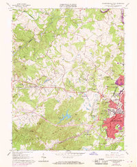
1964 Map of Charlottesville West
USGS Topo · Published 1969About this map
The western edge of Charlottesville and its expansion into the surrounding Albemarle County hills are documented in this late 1960s study. The university campus is a central focus, featuring landmarks like Scott Stadium, McCormick Observatory, and University Hall. Modern suburban developments such as Ednam Forest, Bellair, and Canterbury Hills appear alongside older rural settlements like Millington and Owensville.
Find a feature on this map
79 named features on this map. Tap any name to fly to it.
Don’t see what you’re looking for? This feature index may not catch every label — zoom into the map to look around manually.
Map Details
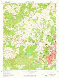
Editions of this 1964 Charlottesville West Map
2 editions found
Other maps of this area

1891 · Palmyra
USGS Topo · 1:125,000

1892 · Buckingham
USGS Topo · 1:125,000

1892 · Gordonsville
USGS Topo · 1:125,000

1892 · Harrisonburg
USGS Topo · 1:125,000

1895 · Palmyra
USGS Topo · 1:125,000

1897 · Palmyra
USGS Topo · 1:125,000

1929 · Covesville
USGS Topo · 1:62,500

1931 · University
USGS Topo · 1:62,500

1935 · Charlottesville
USGS Topo · 1:62,500

1935 · Charlottesville And Vicinity
USGS Topo · 1:31,680