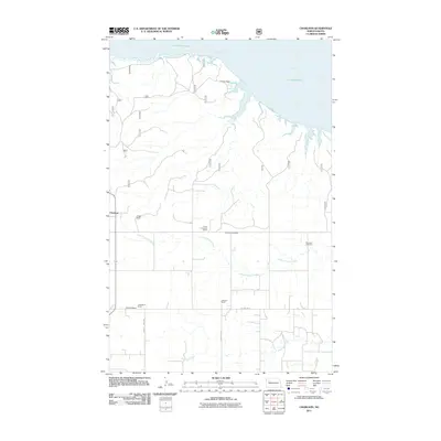
2011 Map of Charlson
USGS Topo · Published 2011About this map
Lake Sakakawea and the Missouri River define the northern edge of this McKenzie County landscape, where the rugged terrain of the Missouri Plateau meets the water. The settlement of Charlson serves as a central point for this agricultural region, which is marked by numerous family-named landmarks such as the J Phelps Ranch and L Washburn Ranch. The drainage patterns of Little Antelope Creek and Antelope Creek carve through the section lines, influencing the placement of local infrastructure like County Hwy 1806. Genealogy researchers will find significant value in the documentation of the Antelope Cemetery and Riverside Cemetery, which provide clues to the early families who established these ranching homesteads. The map illustrates a rural North Dakota community deeply connected to its river geography and livestock history.
Find a feature on this map
16 named features on this map. Tap any name to fly to it.
Don’t see what you’re looking for? This feature index may not catch every label — zoom into the map to look around manually.
Map Details
Editions of this 2011 Charlson Map
This is the sole edition of this map. No revisions or reprints were ever made.
Other maps of this area

1953 · Williston
USGS Topo · 1:250,000

1953 · Watford City
USGS Topo · 1:250,000

1957 · Williston
USGS Topo · 1:250,000

1957 · Watford City
USGS Topo · 1:250,000

1965 · Keene
USGS Topo · 1:24,000

1965 · Charlson
USGS Topo · 1:24,000

1965 · Blue Buttes
USGS Topo · 1:24,000

1965 · Charlson SW
USGS Topo · 1:24,000

1965 · Charlson NE
USGS Topo · 1:24,000

1965 · Charlson NW
USGS Topo · 1:24,000