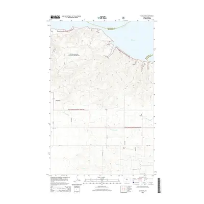
2014 Map of Charlson
USGS Topo · Published 2014About this map
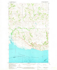
Charlson stands as the primary settlement in this stretch of North Dakota, situated on the edge of the Little Missouri National Grassland. The landscape is defined by the significant presence of the energy industry, marked by the expansive Charlson Oil Field and the Antelope Oil Field to the south. These industrial features contrast with the natural topography shaped by the Missouri River and the broad reach of Lake Sakakawea along the northern and eastern margins. Historically-minded researchers can identify the community's established burial grounds, including Antelope Cem and Riverside Cem, which serve as permanent markers of local heritage. The terrain is deeply incised by drainages such as Little Antelope Cr and Antelope Cr, which meander through the grasslands toward the reservoir. The map reveals a structured grid of rural roads, including 103rd Ave NW and 43rd St NW, which provide access to these remote oil fields and grazing lands.
Find a feature on this map
25 named features on this map. Tap any name to fly to it.
Don’t see what you’re looking for? This feature index may not catch every label — zoom into the map to look around manually.
Map Details
Editions of this 2014 Charlson Map
This is the sole edition of this map. No revisions or reprints were ever made.
Other maps of this area
1953 · Williston
USGS Topo · 1:250,000

1953 · Watford City
USGS Topo · 1:250,000
1957 · Williston
USGS Topo · 1:250,000

1957 · Watford City
USGS Topo · 1:250,000
1965 · Keene
USGS Topo · 1:24,000
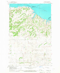
1965 · Charlson
USGS Topo · 1:24,000
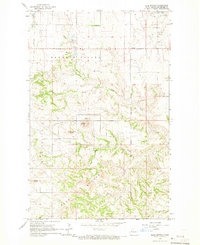
1965 · Blue Buttes
USGS Topo · 1:24,000
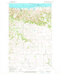
1965 · Charlson SW
USGS Topo · 1:24,000
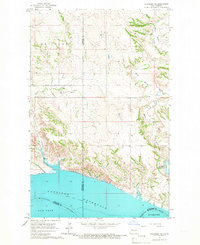
1965 · Charlson NE
USGS Topo · 1:24,000
1965 · Charlson NW
USGS Topo · 1:24,000