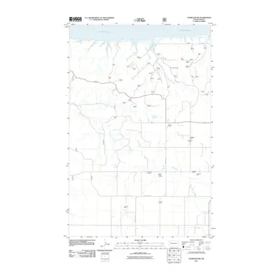
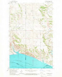
2011 Map of Charlson SW
USGS Topo · Published 2011About this map
Charlson Oil Field dominates the high ground in the northeastern portion of this Williams County landscape, representing the industrial character of the region. This 2011 survey captures the area where the Missouri River feeds into the northern reaches of Lake Sakakawea, showing the complex drainage patterns of Sand Creek as it carves through the terrain.
Find a feature on this map
57 named features on this map. Tap any name to fly to it.
Don’t see what you’re looking for? This feature index may not catch every label — zoom into the map to look around manually.
Map Details
Editions of this 2011 Charlson SW Map
This is the sole edition of this map. No revisions or reprints were ever made.
Other maps of this area
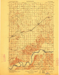
1911 · Ray
USGS Topo · 1:125,000

1953 · Williston
USGS Topo · 1:250,000
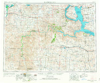
1953 · Watford City
USGS Topo · 1:250,000

1957 · Williston
USGS Topo · 1:250,000
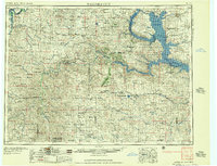
1957 · Watford City
USGS Topo · 1:250,000
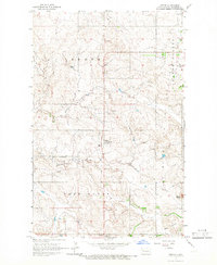
1965 · Keene
USGS Topo · 1:24,000
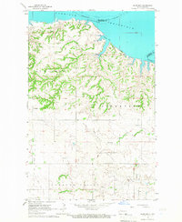
1965 · Charlson
USGS Topo · 1:24,000
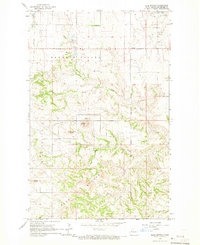
1965 · Blue Buttes
USGS Topo · 1:24,000
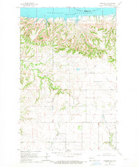
1965 · Charlson SW
USGS Topo · 1:24,000
1965 · Charlson NE
USGS Topo · 1:24,000