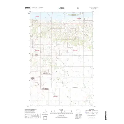
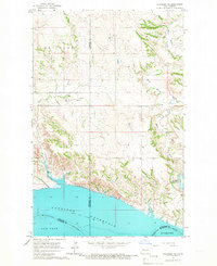
2017 Map of Charlson SW
USGS Topo · Published 2017About this map
Little Missouri National Grassland dominates this portion of the North Dakota badlands, bordering the expansive waters of Lake Sakakawea to the north. The landscape is defined by the transition from the high plateau down toward the Missouri River reservoir, with drainage systems like Sand Cr carving through the terrain. The map reveals a sparse network of county and state roads, such as State Hwy 1806 and Co Rte 55, that provide access to the interior of the grasslands and the agricultural lands along the McKenzie and Williams county line. A notable site for local history and genealogy is the Good Hope Cem-First Lutheran Cem, located in the southeastern quadrant. This 2017 survey reflects the modern management of public lands and the persistence of rural institutions in a region where the vast prairie meets the man-made shoreline of the Missouri River.
Find a feature on this map
23 named features on this map. Tap any name to fly to it.
Don’t see what you’re looking for? This feature index may not catch every label — zoom into the map to look around manually.
Map Details
Editions of this 2017 Charlson SW Map
This is the sole edition of this map. No revisions or reprints were ever made.
Other maps of this area
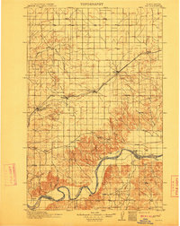
1911 · Ray
USGS Topo · 1:125,000

1953 · Williston
USGS Topo · 1:250,000
1953 · Watford City
USGS Topo · 1:250,000

1957 · Williston
USGS Topo · 1:250,000
1957 · Watford City
USGS Topo · 1:250,000
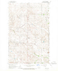
1965 · Keene
USGS Topo · 1:24,000
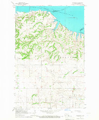
1965 · Charlson
USGS Topo · 1:24,000
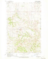
1965 · Blue Buttes
USGS Topo · 1:24,000
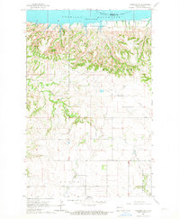
1965 · Charlson SW
USGS Topo · 1:24,000
1965 · Charlson NE
USGS Topo · 1:24,000