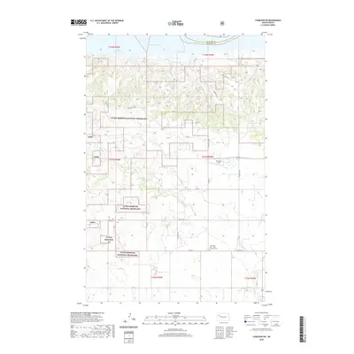
2020 Map of Charlson SW
USGS Topo · Published 2020About this map
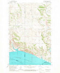
Missouri River waters and the sweeping expanse of Lake Sakakawea dominate the northern boundary of this western North Dakota landscape. The terrain is defined by the high plateaus and dissected drainages of the Missouri Plateau, where the land falls away toward the reservoir. While the map is sparse in named settlements, it illustrates the modern infrastructure of the Bakken region, with an extensive network of section-line roads and specialized industrial sites like the Prop Wash Field and various designated well sites such as Red Mike Hill. These features, alongside the Good Hope Cem - First Lutheran Cem, reflect a landscape where legacy agricultural and religious sites exist alongside modern energy development in McKenzie and Williams counties.
Find a feature on this map
2 named features on this map. Tap any name to fly to it.
Don’t see what you’re looking for? This feature index may not catch every label — zoom into the map to look around manually.
Map Details
Editions of this 2020 Charlson SW Map
This is the sole edition of this map. No revisions or reprints were ever made.
Other maps of this area
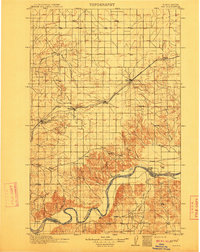
1911 · Ray
USGS Topo · 1:125,000

1953 · Williston
USGS Topo · 1:250,000
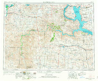
1953 · Watford City
USGS Topo · 1:250,000

1957 · Williston
USGS Topo · 1:250,000
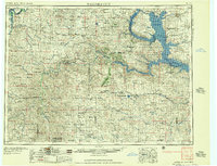
1957 · Watford City
USGS Topo · 1:250,000
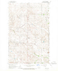
1965 · Keene
USGS Topo · 1:24,000
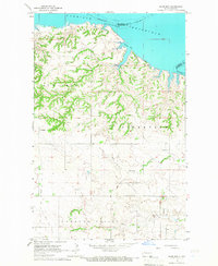
1965 · Charlson
USGS Topo · 1:24,000
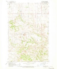
1965 · Blue Buttes
USGS Topo · 1:24,000
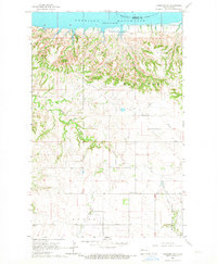
1965 · Charlson SW
USGS Topo · 1:24,000
1965 · Charlson NE
USGS Topo · 1:24,000