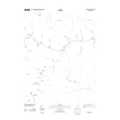
2013 Map of Charters
USGS Topo · Published 2013About this map
Charters sits at the junction of Old Route 10 and Twin Valley Rd in a landscape defined by deep drainages and narrow ridges. The settlement pattern here is dictated by the complex creek systems, with homesteads and small communities found primarily along the valley floors of Little Br and Salt Lick Cr. To the south, Glen Springs is situated near the foot of Glen Springs Hill, illustrating the classic Appalachian settlement model where roads like Toller Branch Rd follow the narrow contours between high points such as Kentucky Ridge.
Find a feature on this map
90 named features on this map. Tap any name to fly to it.
Don’t see what you’re looking for? This feature index may not catch every label — zoom into the map to look around manually.
Map Details
Editions of this 2013 Charters Map
This is the sole edition of this map. No revisions or reprints were ever made.
Other maps of this area

1919 · Vanceburg
USGS Topo · 1:62,500

1929 · Springdale
USGS Topo · 1:48,000

1935 · Springdale
USGS Topo · 1:62,500

1949 · Vanceburg
USGS Topo · 1:62,500

1949 · Buena Vista
USGS Topo · 1:24,000

1949 · Vanceburg
USGS Topo · 1:24,000

1949 · Concord
USGS Topo · 1:24,000

1949 · Charters
USGS Topo · 1:24,000

1950 · Charters
USGS Topo · 1:24,000

1950 · Head Of Grassy
USGS Topo · 1:24,000