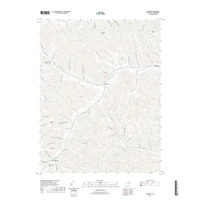
2019 Map of Charters
USGS Topo · Published 2019About this map
Salt Lick Creek and its many tributaries, including Little Br and Big Br, define the drainage patterns of this Lewis County landscape. Small rural communities like Charters and Clarksburg sit along the winding valley roads, while Glen Springs occupies the southern reaches of the map near Glen Springs Hill. The topography is a complex network of ridges and hollows, such as Kentucky Ridge and Eskalapia Mtn, which separate the various creek beds. Genealogists can locate several family and community burial grounds tucked into the hills, including Webster Cem and Pleasant Ridge Cem. The transportation network is built around the natural terrain, with routes like Salt Lick Rd and Hackworth Hollow Rd following the low ground between steep rises like Herron Hill.
Find a feature on this map
99 named features on this map. Tap any name to fly to it.
Don’t see what you’re looking for? This feature index may not catch every label — zoom into the map to look around manually.
Map Details
Editions of this 2019 Charters Map
This is the sole edition of this map. No revisions or reprints were ever made.
Other maps of this area

1919 · Vanceburg
USGS Topo · 1:62,500

1929 · Springdale
USGS Topo · 1:48,000

1935 · Springdale
USGS Topo · 1:62,500

1949 · Vanceburg
USGS Topo · 1:62,500

1949 · Buena Vista
USGS Topo · 1:24,000

1949 · Vanceburg
USGS Topo · 1:24,000

1949 · Concord
USGS Topo · 1:24,000

1949 · Charters
USGS Topo · 1:24,000

1950 · Charters
USGS Topo · 1:24,000

1950 · Head Of Grassy
USGS Topo · 1:24,000