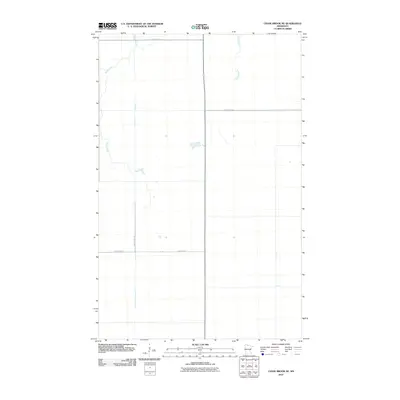
2010 Map of Chase Brook NE
USGS Topo · Published 2010About this map
Moose Creek and Bartons Brook wind through this northern Minnesota landscape in Lake of the Woods County, defining the drainage patterns of an area characterized by its wide-open wetlands and low-lying terrain. The map reveals a highly structured grid of section lines and gravel roads, including County Hwy-1 and County Hwy-77, which provide the primary access to these sparsely settled reaches. These roads intersect at right angles, typical of the public land survey system in the Midwest, where large tracts of land remain dedicated to timber and peat management. The lack of named settlements or major structures emphasizes the remote nature of this region during the early 21st century, making it a valuable reference for tracing the exact hydrography and rural infrastructure of the county's interior before later changes in land use or drainage.
Find a feature on this map
6 named features on this map. Tap any name to fly to it.
Don’t see what you’re looking for? This feature index may not catch every label — zoom into the map to look around manually.
Map Details
Editions of this 2010 Chase Brook NE Map
This is the sole edition of this map. No revisions or reprints were ever made.
Other maps of this area
1919 · Knutson
USGS Topo · 1:62,500
1921 · Baudette
USGS Topo · 1:62,500

1954 · Roseau
USGS Topo · 1:250,000

1957 · Roseau
USGS Topo · 1:250,000

1958 · Roseau
USGS Topo · 1:250,000
1968 · Baudette SE
USGS Topo · 1:24,000
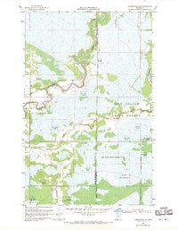
1968 · Clementson SW
USGS Topo · 1:24,000
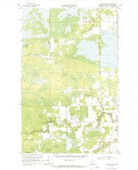
1968 · Baudette SW
USGS Topo · 1:24,000
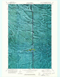
1973 · Ludlow Lookout Tower
USGS Topo · 1:24,000
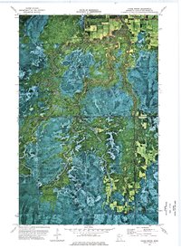
1973 · Chase Brook
USGS Topo · 1:24,000