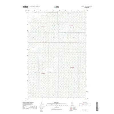
2019 Map of Chase Brook NE
USGS Topo · Published 2019About this map
Moose Cr and Bortons Brook flow through this northern Minnesota landscape in Lake of the Woods County, carving through a region defined by extensive wetlands and subtle elevation changes. The land is organized by the Public Land Survey System, with the map covering portions of t158n r31w, t158n r30w, t157n r31w, and t157n r30w. The sparse transportation network consists primarily of county routes such as Co Rd 1 in the north and Co Rd 77 in the south, alongside local tracks like 71st St SE. The lack of dense settlement or commercial centers indicates a region dedicated to natural preservation or timber, where the drainage patterns of small creeks dictate the layout of the few connecting roads.
Find a feature on this map
10 named features on this map. Tap any name to fly to it.
Don’t see what you’re looking for? This feature index may not catch every label — zoom into the map to look around manually.
Map Details
Editions of this 2019 Chase Brook NE Map
This is the sole edition of this map. No revisions or reprints were ever made.
Other maps of this area
1919 · Knutson
USGS Topo · 1:62,500
1921 · Baudette
USGS Topo · 1:62,500

1954 · Roseau
USGS Topo · 1:250,000

1957 · Roseau
USGS Topo · 1:250,000

1958 · Roseau
USGS Topo · 1:250,000
1968 · Baudette SE
USGS Topo · 1:24,000
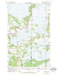
1968 · Clementson SW
USGS Topo · 1:24,000
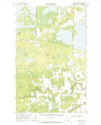
1968 · Baudette SW
USGS Topo · 1:24,000
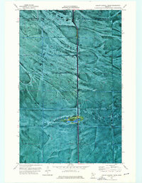
1973 · Ludlow Lookout Tower
USGS Topo · 1:24,000
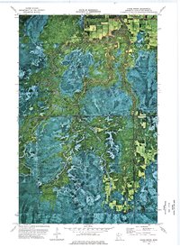
1973 · Chase Brook
USGS Topo · 1:24,000