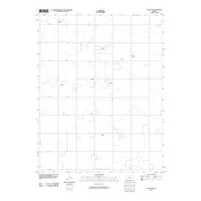
2009 Map of Chase NW
USGS Topo · Published 2009About this map
Oil production dominates this rural landscape in Barton County, where a dense grid of extraction sites reveals the industrial character of the mid-continent oil fields. Large-scale operations like the Chase-Silica Oil Field and the Orth West Oil Field are scattered across the section lines, interspersed with smaller named sites such as the Mary Ida Oil Field and Ringwald Oil Field. This infrastructure overlays a traditional agricultural grid defined by roads like Ne 90 RD and Ave K.
Find a feature on this map
31 named features on this map. Tap any name to fly to it.
Don’t see what you’re looking for? This feature index may not catch every label — zoom into the map to look around manually.
Map Details
Editions of this 2009 Chase NW Map
This is the sole edition of this map. No revisions or reprints were ever made.
Other maps of this area

1891 · Great Bend
USGS Topo · 1:125,000

1893 · Great Bend
USGS Topo · 1:125,000

1894 · Ellsworth
USGS Topo · 1:125,000

1894 · Lyons
USGS Topo · 1:125,000

1896 · Russell
USGS Topo · 1:125,000

1955 · Great Bend
USGS Topo · 1:250,000

1956 · Ellinwood NE
USGS Topo · 1:24,000

1957 · Great Bend
USGS Topo · 1:250,000

1957 · Ellinwood
USGS Topo · 1:24,000

1958 · Great Bend
USGS Topo · 1:250,000