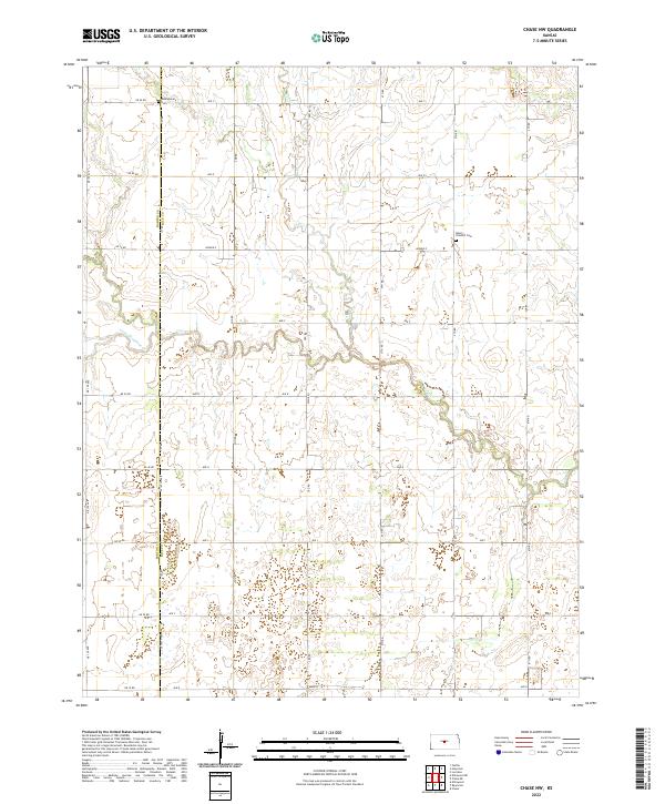
2022 Map of Chase NW
USGS Topo · Published 2022About this map
Cow Creek winds through this rural section of the central Kansas prairie, defining the drainage patterns of the western Rice County borderlands. The landscape is characterized by a precise section-line road grid, including NE 90 Road and NE 10 Road, which segment the agricultural terrain. Two notable burial sites, Montgomery Cemetery in the north and Salem - Friedhof Cemetery further south, serve as quiet landmarks of the region's early settlement history. While modern hydrography is dominated by the meandering Little Cheyenne Creek and Calf Creek, the lack of clustered urban centers highlights the area's enduring character as an open farming district. The boundary between Barton County and Rice County runs vertically through the western portion of the sheet, dividing these rural townships.
Find a feature on this map
27 named features on this map. Tap any name to fly to it.
Don’t see what you’re looking for? This feature index may not catch every label — zoom into the map to look around manually.
Map Details
Editions of this 2022 Chase NW Map
This is the sole edition of this map. No revisions or reprints were ever made.
Other maps of this area

1891 · Great Bend
USGS Topo · 1:125,000

1893 · Great Bend
USGS Topo · 1:125,000

1894 · Ellsworth
USGS Topo · 1:125,000

1894 · Lyons
USGS Topo · 1:125,000

1896 · Russell
USGS Topo · 1:125,000

1955 · Great Bend
USGS Topo · 1:250,000

1956 · Ellinwood NE
USGS Topo · 1:24,000

1957 · Great Bend
USGS Topo · 1:250,000

1957 · Ellinwood
USGS Topo · 1:24,000

1958 · Great Bend
USGS Topo · 1:250,000