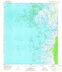
1954 Map of Chassahowitzka Bay
USGS Topo · Published 1965About this map
Chassahowitzka Swamp and the labyrinthine tidal creeks of the Florida Gulf Coast dominate this mid-century topographic study. The landscape is defined by the transition from the open waters of the Gulf of Mexico through the Chassahowitzka Reefs into a complex network of islands and marshes. The boundary between Citrus Co and Hernando Co cuts through the northern reach of the Chassahowitzka National Wildlife Refuge, where the Chassahowitzka River meets the bay.
Find a feature on this map
42 named features on this map. Tap any name to fly to it.
Don’t see what you’re looking for? This feature index may not catch every label — zoom into the map to look around manually.
Map Details
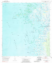
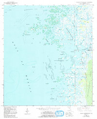
Editions of this 1954 Chassahowitzka Bay Map
4 editions found
Other maps of this area

1954 · Homosassa
USGS Topo · 1:24,000

1954 · Chassahowitzka Bay
USGS Topo · 1:24,000

1954 · Chassahowitzka
USGS Topo · 1:24,000

1954 · Bayport
USGS Topo · 1:24,000

1954 · Weekiwachee Springs
USGS Topo · 1:24,000

1954 · Ozello
USGS Topo · 1:24,000

1955 · Plant City
USGS Topo · 1:250,000

1958 · Plant City
USGS Topo · 1:250,000

1959 · Plant City
USGS Topo · 1:250,000

1964 · Plant City
USGS Topo · 1:250,000