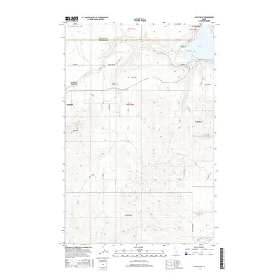
2017 Map of Chatcolet
USGS Topo · Published 2017About this map
Plummer serves as the primary population center in this northern Idaho landscape, where the town site meets the varied topography of Plummer Butte and the Minaloosa Valley. The map detail traces the intricate drainage systems of Plummer Cr and Little Plummer Cr as they move through the timbered hills toward the northern reaches of Chatcolet Lake. To the northeast, the Plummer Peninsula projects into the water near the settlement of Chatcolet, while the small community of Pedee sits nestled near the winding course of Pedee Cr.
Find a feature on this map
43 named features on this map. Tap any name to fly to it.
Don’t see what you’re looking for? This feature index may not catch every label — zoom into the map to look around manually.
Map Details
Editions of this 2017 Chatcolet Map
This is the sole edition of this map. No revisions or reprints were ever made.
Other maps of this area

1955 · Spokane
USGS Topo · 1:250,000

1957 · St. Maries
USGS Topo · 1:62,500

1957 · Emida
USGS Topo · 1:62,500

1957 · Plummer
USGS Topo · 1:62,500

1957 · Tensed
USGS Topo · 1:62,500

1958 · Spokane
USGS Topo · 1:250,000

1975 · Plummer NW
USGS Topo · 1:24,000

1975 · Plummer SE
USGS Topo · 1:24,000

1975 · Plummer NE
USGS Topo · 1:24,000

1981 · St Maries
USGS Topo · 1:100,000