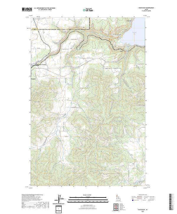
2024 Map of Chatcolet
USGS Topo · Published 2024About this map
Chatcolet Lake and the Saint Joe River dominate the northeastern corner of this landscape, where the Plummer Peninsula juts into the water. This 2024 survey illustrates a region defined by its diverse transportation network, ranging from the modern Old Hwy 5 to an extensive system of recreation paths like the Trail of the Coeur D' Alene's and specialized routes such as the Appaloosa Horse Trl. The settlement of Plummer serves as a local hub near Plummer Junction, while smaller locales like Pedee and Chatcolet sit near the water's edge.
Find a feature on this map
55 named features on this map. Tap any name to fly to it.
Don’t see what you’re looking for? This feature index may not catch every label — zoom into the map to look around manually.
Map Details
Editions of this 2024 Chatcolet Map
This is the sole edition of this map. No revisions or reprints were ever made.
Other maps of this area

1955 · Spokane
USGS Topo · 1:250,000

1957 · St. Maries
USGS Topo · 1:62,500

1957 · Emida
USGS Topo · 1:62,500

1957 · Plummer
USGS Topo · 1:62,500

1957 · Tensed
USGS Topo · 1:62,500

1958 · Spokane
USGS Topo · 1:250,000

1975 · Plummer NW
USGS Topo · 1:24,000

1975 · Plummer SE
USGS Topo · 1:24,000

1975 · Plummer NE
USGS Topo · 1:24,000

1981 · St Maries
USGS Topo · 1:100,000